New data from Ordnance Survey will be used to support safe walking across Great Britain.
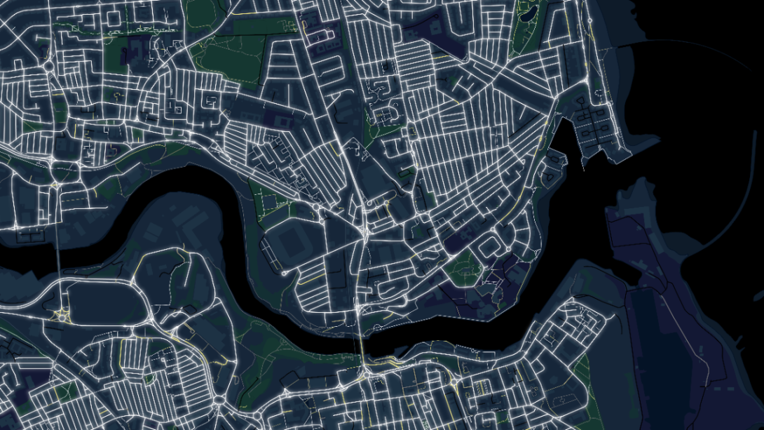
The data highlights the brightest and darkest roads and paths according to the position of street lights. The data has been captured using OS aerial imagery.
The enhancement also shows whether roads and paths are fully lit, mostly lit, mostly unlit and fully unlit.
The data was released into the OS National Geographic Database (OS NGD) earlier this year and is the first national dataset of its type.
The data include more than six and a half million street lights along publicly accessible roads and paths.
The data can be used by local councils and service providers to identify safe walking and cycling routes to important services such as hospitals, train stations and schools.
It can also be used to identify the need for new street lighting where safe routes are currently limited. This could enable more efficient use of local transport budgets and better support for statutory duties like school admissions.
John Kimmance, Chief Customer Officer at Ordnance Survey said: "As the evenings get darker at this time of year, it is so important to provide well-lit routes for safe walking and cycling to ensure continued access to local amenities and vital services for citizens. The new street light dataset will be a great asset to local councils and service providers in understanding the existing provision of street lights and where there is a need for more to create safer communities."
The data shows that of the 50 largest towns and cities in Britain, Sunderland is the brightest and Northampton is the lowest lit. Sunderland has a density of over 650 streetlights per square kilometre, compared to Northampton's 305 London sits halfway down the list with 400.
Sunderland also comes out top as the town or city with the most fully or mostly lit roads at 98 per cent, with York at the lowest with 81 per cent.
OS has also been exploring how street lights data could be used to support a variety of insights. For example, it could highlight crime hotspots, mixing it with OS NGD datasets to show how crime may correlate with darker environments, commercial or residential areas, greenspaces and so on.
Tom Waller, lead data engineer at the Metropolitan Police said: "The new street lights dataset from Ordnance Survey is going to be very beneficial to show officers how street light levels and positioning relate to the locations of various types of incidents and offences we see. Once they have identified the location of repeat offences in particular, they can use the dataset to identify the location and level of street lights and then take concerns with this to partners, such as councils, to get their help in improving the environment to design out crime. This will allow a multiagency approach to help deter further offences in known crime hotspots further protecting the public."